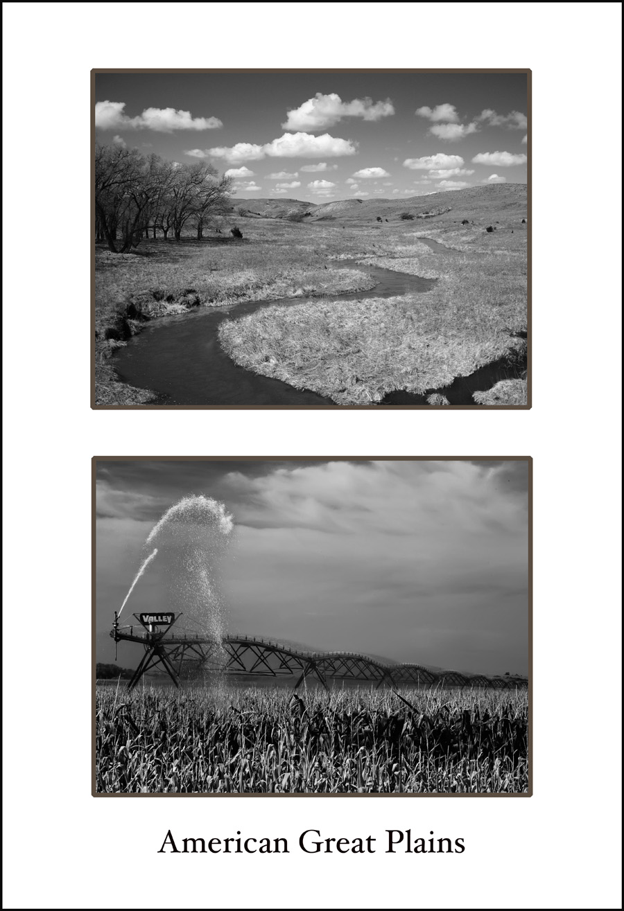
Top: The Dismal River is one of many wild rivers that wind through the Nebraska Sandhills country. At nearly 20,000 square miles (about twice the size of Maryland) the Nebraska Sandhills are the largest concentration of sand dunes in the Western Hemisphere. In this semi-arid region the sand dunes are covered with grass because they overlie a huge reservoir of water as deep as 1000 feet, called the Ogallala Aquifer. The Ogallala Aquifer runs from South Dakota down into Texas, but it's deepest and largest area is under the Nebraska Sandhills. The permeable soil of the Nebraska Sandhills allows rain and snowmelt to replenish this massive aquifer.
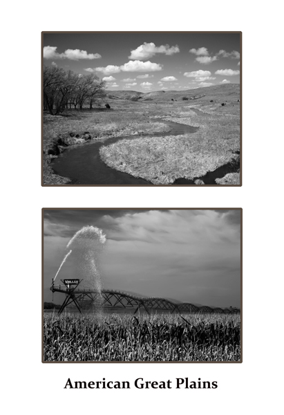
Bottom: Tapping water from the Ogallala Aquifer for crop irrigation has resulted in a significant drop in the water table. In parts of Kansas, New Mexico, Oklahoma, and Texas the water table has dropped by 100 feet or more. More recently, there was a major debate over a proposed pipeline that would travel right through the Nebraska Sandhills carrying tar sands oil from Canada to Texas refineries. Opponents, including environmental groups, were concerned that the pipeline will eventually leak and contaminate the Ogallala Aquifer. Supporters of the pipeline, including the U.S. State Department, touted jobs and energy security as a reason to move forward with the project, as planned. The Nebraska Unicameral called a special session and voted to block the pipeline, forcing the pipeline company, TransCanada to reroute around the environmentally sensitive Sandhills region.